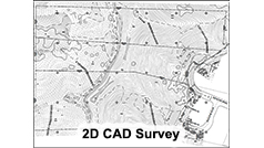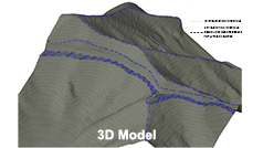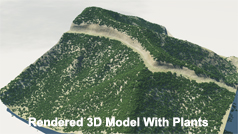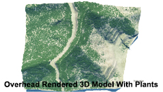  
Traditional aerial surveying consists of taking overlapping photos from an airplane and using photogrammetry to create elevation information, hardscape locations, and contours. The modern method for aerial surveying uses LIDAR (Light Detection And Ranging). This method uses the same technology as described in 3D scanning, and is superior due to its ability to penetrate between the branches of brush and trees to get ground data. This is not possible using the traditional method, in which the surveyor must rely on visibility in photos to obtain data. LIMITATIONS Aerial surveying is limited to general information and may need to be supplemented by manual surveying to get fine details such as tops of curbs and other detailed spot elevations needed for civil design. |
||||
| ©2025 TDR Engineering (818) 761-1508 2566 N. San Fernando Road, Los Angeles CA 90065 | 501 W. Glenoaks Blvd. #145, Glendale CA 91202 |

